XCT-West
Vital Stats
Land Acknowledgement: This route travels through Massacoes, Paugussett, Quinnipiac, Sicaog, Tunxis, and Wappinger land. Here's a great resource if you have ever wondered where you were - https://native-land.ca/
Distance: 192 miles
Elevation Gain: 16,196 feet
Unpaved: 50% (95 miles)
Singletrack: 16% (30 miles)
GPS Data: https://ridewithgps.com/routes/53229085
Description:
This route is the rough, hilly and sometimes remote half of the network known as the XCTtrail. Starting in downtown New Haven and ending just shy of the Massachusetts border, the track takes a slightly meandering path through various communities, trail systems and ecosystems, favoring engaging terrain over any pretense of geo-spatial linearity. While the majority of the first 100 miles could comfortably be ridden on a gravel/cyclocross bike, the latter half tends to alternate between singletrack and washed out fire roads. All bikes will feel "wrong" at some point, but some will lead to more punishment than others. The ideal setup would feature high-volume, fast rolling tires, wide handlebars for control on rough terrain, and provisions for multiple hand positions. No doubt, there are many ways to solve that particular puzzle. Riding the route from end to end in four days is just slightly less than what a reasonably fit rider would call a "comfortable" pace. Two days would be fairly aggressive, but attainable, and I suspect it could be polished off in less than 24 hours in a straight drag.
Accessibility:
Both ends of the route are within riding distance of public transportation. In New Haven, both Union and State Street stations are just a few minutes riding time from the start. From the norther terminus in Granby, the Farmington Canal trail can be taken to the town of Farmington, and back roads into Hartford proper and Hartford Union Station. Both Metro North and Amtrak allow bikes on trains. Further details and schedules can be found here:
https://www.hartfordline.com/route_stations/hartford.aspx
Camping:
Campgrounds immediately along the route are listed below -
Steep Rock Preserve
Lake Waramaug State Park
Mohawk State Forest Lean-to
Hemlock Hill Camp Resort
Cozy Hills Campground
White Memorial Family Campground
If you choose to pursue improvised camping situations, please be respectful to private land owners, keep your presence as small as possible, and Leave No Trace!
Food and Water Resupply:
The following towns have abundant resupply options in the way of gas stations, grocery stores, convenience stores and restaurants -
Beacon Falls - Mile 20
Southbury - Mile 35
New Preston - Mile 60
Kent - Mile 73
Sharon - Mile 90
Litchfield - 121
Harwinton - Mile 138
Farmington - Mile 168
Additionally, Mohawk State Forest has a geriatric yet functional water pump just a few feet off route at ~ mile 106. Check the park map for exact location: https://portal.ct.gov/-/media/DEEP/stateparks/maps/mohawknsummerpdf.pdf
Thank Yous and Shout Outs
New Haven GS Crew - Your wanderings served as inspiration for much of this.
Will, Simon and Marty - Thanks for signing up for some challengine recon missions.
My wonderful partner Hannah - Your patience in listening to me ramble on about maps is endless.
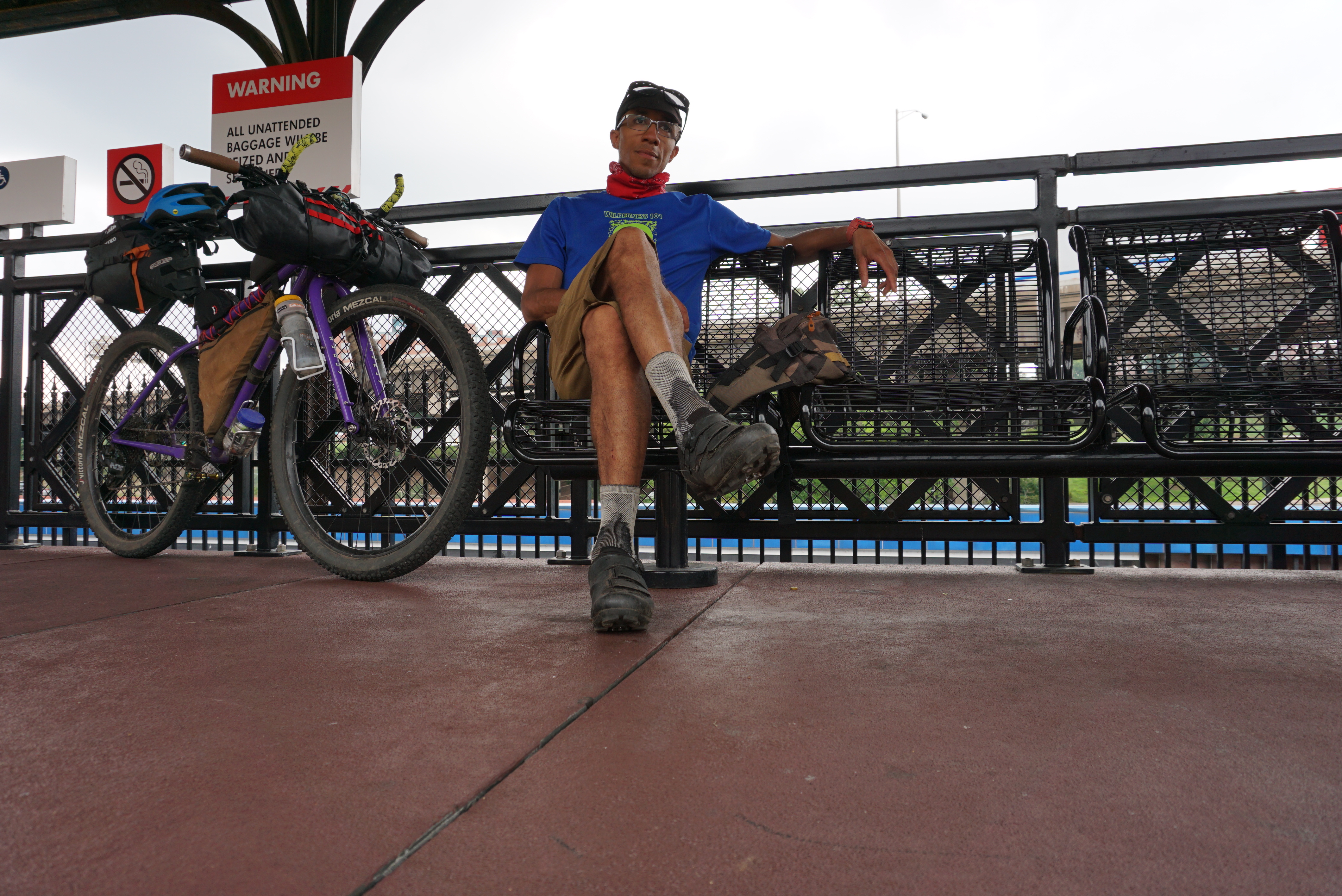
Some mediocre photography from the latest recon trip:
All photos (the ones that didn't stink) from the three major recon trips:


Comments
Post a Comment